
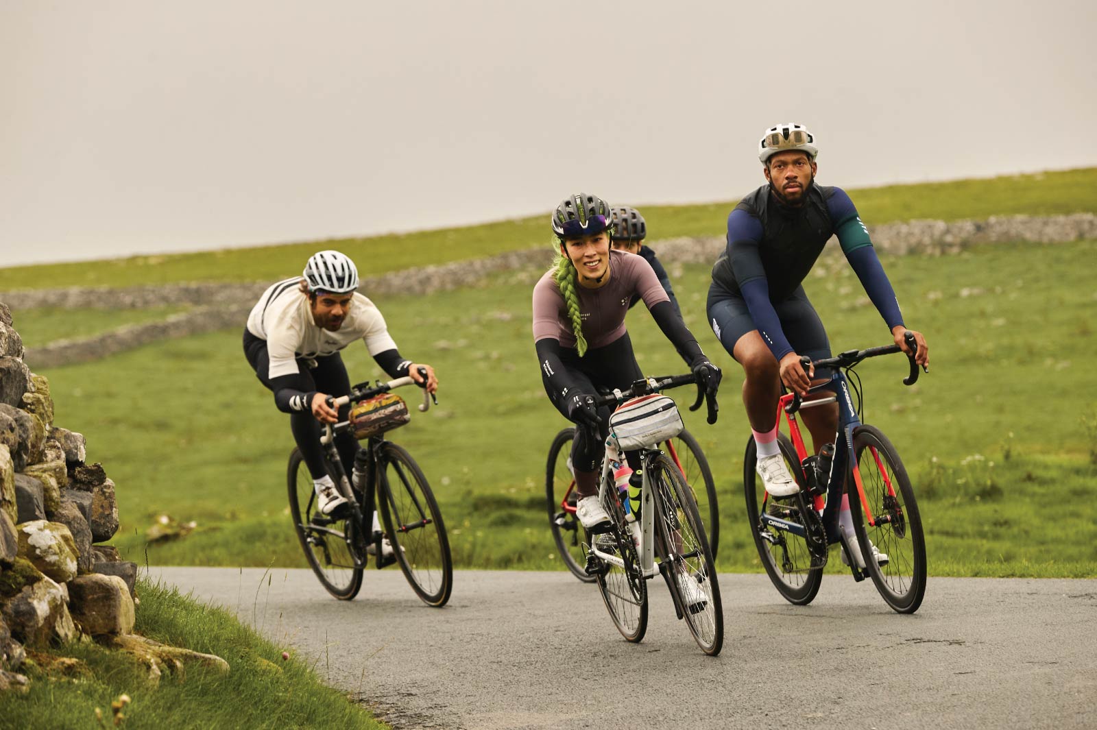
Everything about the app that is revolutionizing leisure time. On the bike too.
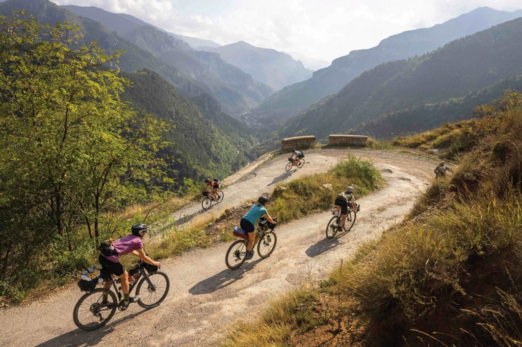
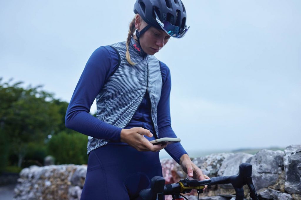
I have decided to follow a stage of the Giro d’Italia live: number 20, the one that from Belluno climbs to the top of the Marmolada. I will take the opportunity to stay an extra day and explore the mountains, perhaps on my beloved mountain bike: I want outdoor adventures, to switch off, memories to take home. But I don’t know the area, so how do I organise it? Who do I ask? The turning point came thanks to a friend, one of the more than 25 million users of komoot, who one evening told me about the online planning platform that is revolutionising leisure time. We take a look at it together (the app is available for iOS, Android and desktop) and I realise that it is very easy to use. So, the next day I set to work on my itinerary.

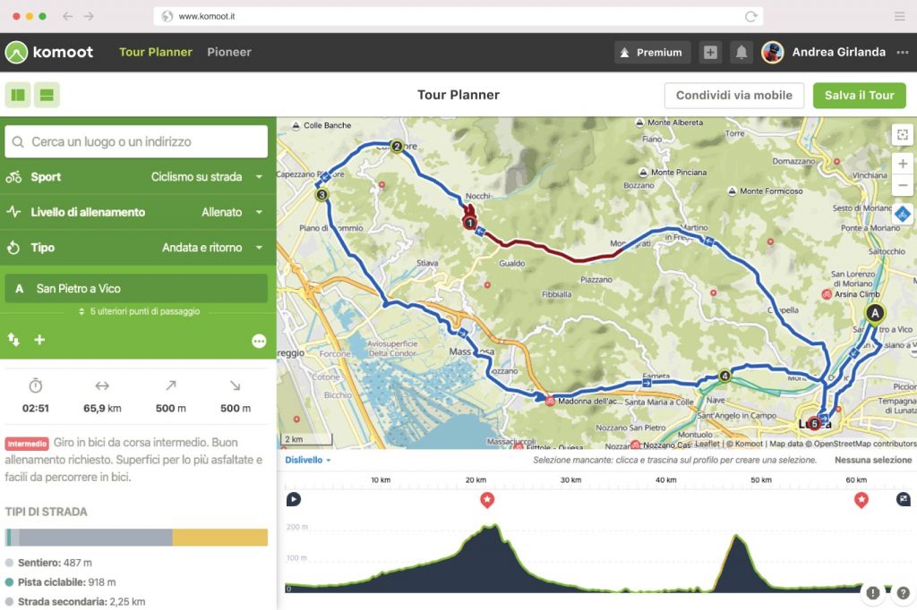
I make up my mind and will stop in Moena, one of the towns on the race course. In order to get an idea of the area, I use the explore function. I enter the name of the village, click and a long list of routes made by others opens up, complete with technical advice and travel tips. But what really makes komoot special is the possibility to build a bespoke itinerary, checking every detail, through the Tour Planner function. I’m in. All I have to do is enter the sport I’m passionate about (for me MTB, but there’s hiking, bike touring, bike packing, road cycling, running, Gravel, MTB enduro and mountain biking), the training level and where to go, in my case Moena, which can be either the starting or end point. For me, who wants a round trip, the two coincide. I decide to go to Carezza and let the app calculate the route using an algorithm. Within a few seconds I have the information I need to understand whether the route is right for me. The route is of intermediate difficulty: 21.2 kilometres, with 740-metre elevation gain on the outward journey and the same amount on the return, and an average time of 2 hours and 20 minutes. You need good training and advanced riding skills. I can do it.
But the fun comes now. The map is dotted with red dots. These are the Highlights, i.e., recommendations from other users (cyclists of all sorts, runners, hikers) who have explored this area. I understand that komoot works like a real social network. Its soul is made up of outdoor enthusiasts like me, who want to share a singletrack, a panoramic point, a segment of dirt road or just the name of a restaurant worth stopping at. I click on one of the highlights and discover that 10 people recommend a panoramic terrace from which to enjoy a view of Moena. I open another one. With a very short detour, I can pass by the Carezza Pass, where the view of the Latemar and Catinaccio is guaranteed. I think about the pics I can take (and then share on the platform) and I am convinced. By clicking ‘include on route’, my route automatically adjusts, taking me to the new point of interest.
That’s not all. In addition to the community-created highlights, komoot allows me to display points of interest on the map, such as places of natural interest, children’s attractions, but also places to eat, Internet access and ATMs. A horizontal band shows me the Tour profile: green for the flat parts, red for the steep ones. Let’s admit it: I’m not in the mood to sweat too much. I click on the option ‘avoid steep slopes’ and voilà: the route is reshaped to prove that I’m the slacker that I am. I save the route and plan to reopen it a few days before departure.
How much have I paid so far? Zero. Komoot is free for the whole planning part. Before I leave, however, I will have to buy maps (updated weekly) of the area I am going to explore. This way I will link my komoot account to my GPS devices, like cycling computers and smartwatches. But I’m already thinking about the Premium option, which includes not only maps of the whole world, but also the possibility to check the weather forecast and plan a trip over several days. Perfect for my summer on the road.